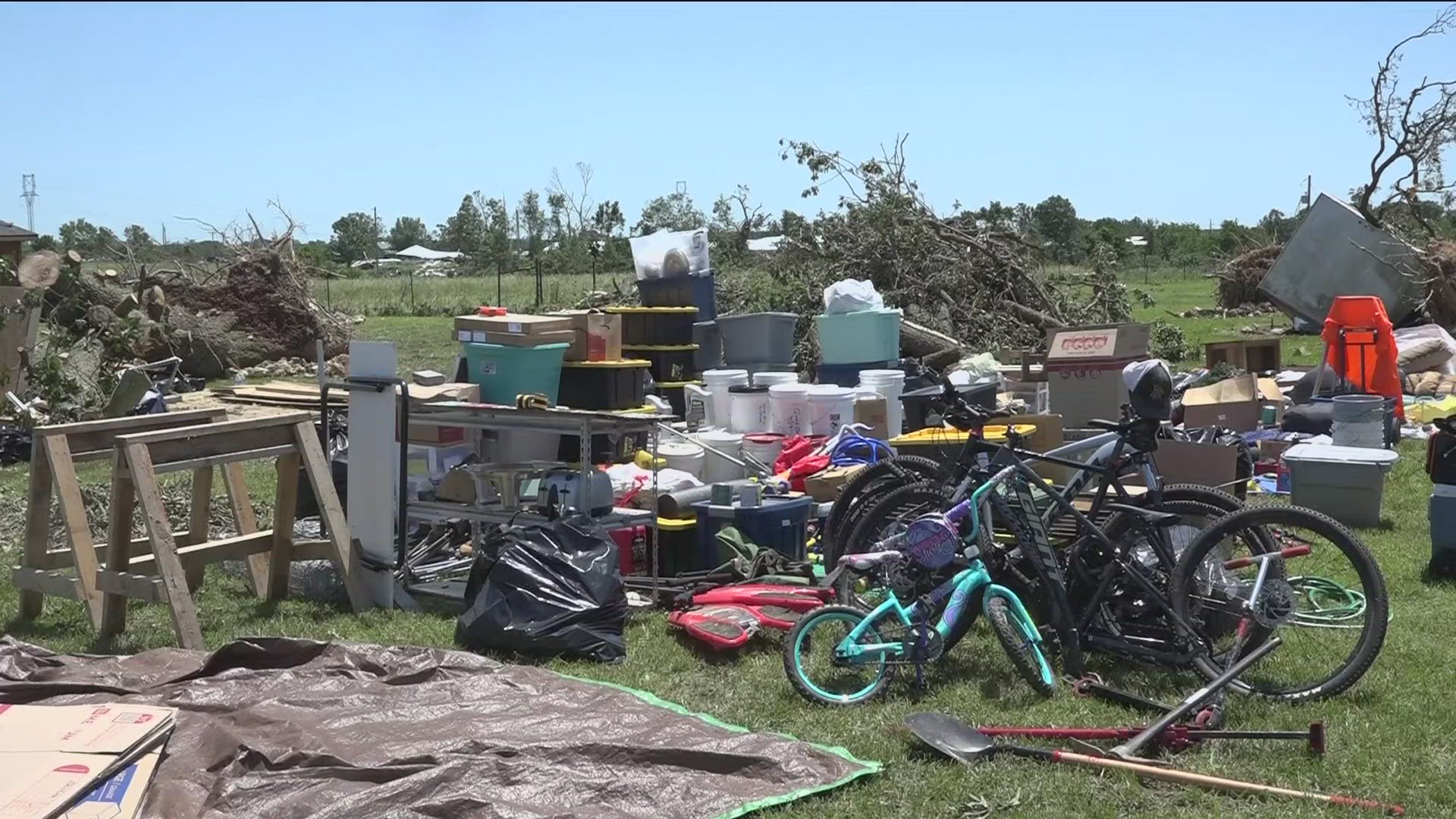
DECATUR, Arkansas — In a recent update from the National Weather Service (NWS), a devastating tornado in Decatur that developed early on Sunday, May 28, is already showing to be massive— both in size and damage.
While the NWS continues to survey the tornadic supercell that they believe began in Delaware County, Okla., and ended in Benton County, Ark., a full report is expected soon.
All the details of the EF-3 tornado in Decatur have yet to be confirmed, but the NWS believes the tornado traveled at least 7 miles and was likely around 3,000 yards wide with 140 to 150 mph winds. NWS said they do believe there were two tornadoes that touched down in Decatur Monday morning.
NWS confirmed the tornado began in Cherokee City, just a mile and a half from the state line, around 1 a.m. on May 26, but they have not determined the ending spot or time in Benton County.
"It damaged several homes, destroyed outbuildings, snapped and uprooted trees, and snapped power poles as it moved northeast into Arkansas, crossing near Welch Road [in Gentry]," the report said.
The tornado then moved into Decatur around Coon's Hollow Road and Carlton Drive, where homes were destroyed.
According to the report, the path continued to Highway 102, destroying more homes and uprooting more trees.
From there, NWS believes "the tornado likely turned north-northeast and dissipated."
NWS believes this tornado caused at least two injuries. No fatalities were reported in this specific path.
They are still surveying this track and will provide a finalized report soon.
In their preliminary report on Monday, the NWS said they believed two tornadoes occurred in Decatur.
After they surveyed damage west of Centerton in Benton County, NWS said there were likely two tornadoes in that area as well, causing widespread power outages and home damage.
The NWS said extensive wind damage in Bentonville and Rogers led them to estimate more tornadoes touched down there, as well.
"Based on our survey yesterday, combined with a review of radar data, we believe the fatality that occurred in a mobile home east of Rogers and near Beaver Lake was the result of straight-line wind damage from the rear flank downdraft," the NWS said.
Wind speeds in Benton County were 80 to 95 miles per hour based on the damage, according to the preliminary report.
Seven people died statewide from Sunday's severe storms, according to the Arkansas Division of Emergency Management.
Watch 5NEWS on YouTube.
Download the 5NEWS app on your smartphone:
Stream 5NEWS 24/7 on the 5+ app: How to watch the 5+ app on your streaming device
To report a typo or grammatical error, please email KFSMDigitalTeam@tegna.com and detail which story you're referring to.

