ARKANSAS, USA — Arkansas is just getting into severe weather season, and our first potential system is arriving Tuesday night into Wednesday morning. We first alerted you about the potential when we got a rare Day 6 Outlook this past Thursday.
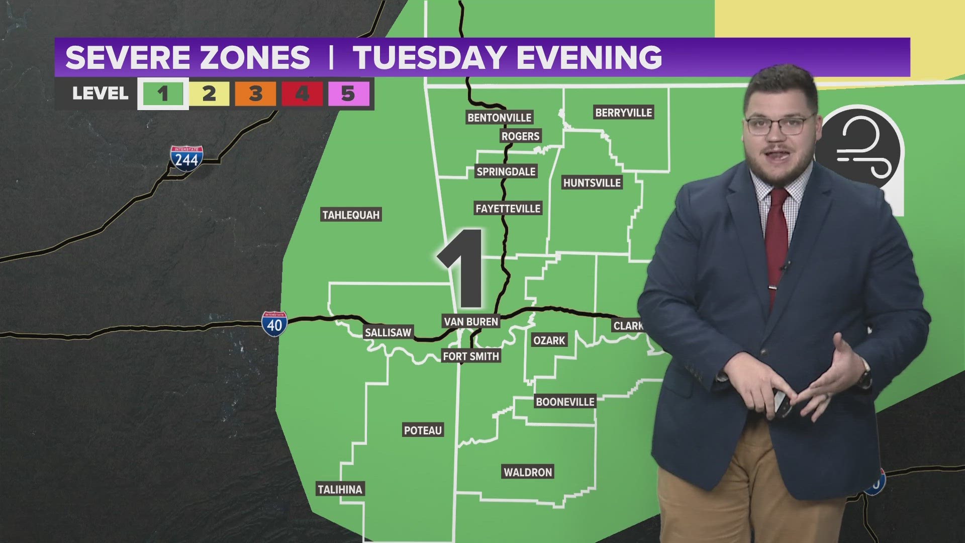
Since then, we have been following the latest model updates, and this system continues to trend more towards the north, keeping Northwest Arkansas and the River Valley out of the highest area of risk.
What does the storm prediction center think about this?
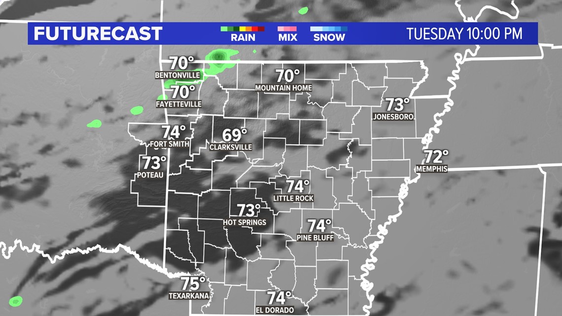
Again, this system keeps trending away from 5COUNTRY. While that is some good news, the bad news is that there is still a lot unknown about this system. All the ingredients are there for severe weather with warm temperatures, and a large cold front sweeping in cooler air. Temperatures will be in the 80s, before dropping below freezing going into Wednesday morning. Right now, we have to wait and see what the models develop but it looks like we could be on the tail end of a line of thunderstorms. Strong damaging winds and hail will be possible Tuesday night, with a very limited risk of rotation.
What do the models look like?


It's not that impressive right now, which is a good thing! Northwest Arkansas is going to be in the development zone, where storms are going to start to form. With all the ingredients being available for severe weather, we could see a line of thunderstorms develop going into Tuesday evening. We still need time to let the models work themselves out, but it's trending positively for 5COUNTRY.
What time can we expect these storms?
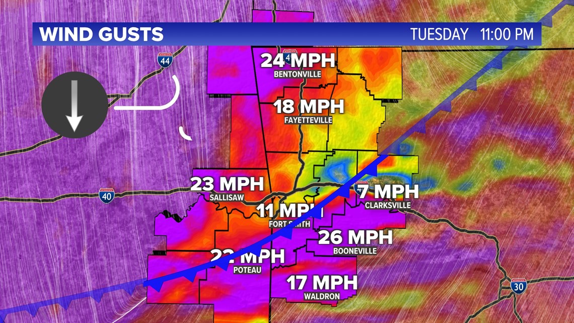
Models are suggesting that we are going to see this cold front arrive somewhere between 9 p.m. and 11 p.m. Tuesday and go into Wednesday morning. The strongest portion of this system is going to be further toward the north in Missouri, Illinois, and Indiana. We still have the potential to see some strong storms develop as we go into Tuesday evening.


Watch 5NEWS on YouTube.
Download the 5NEWS app on your smartphone:
Stream 5NEWS 24/7 on the 5+ app: How to watch the 5+ app on your streaming device
To report a typo or grammatical error, please email KFSMDigitalTeam@tegna.com and detail which story you're referring to.

