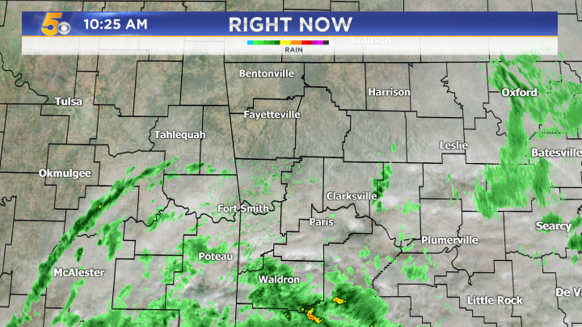

This is a current look at satellite and radar which will continue to show areas of light to moderate rain continuing across NW Arkansas and the Greater Fort Smith area into the afternoon and evening. Stronger storms are likely farther south.


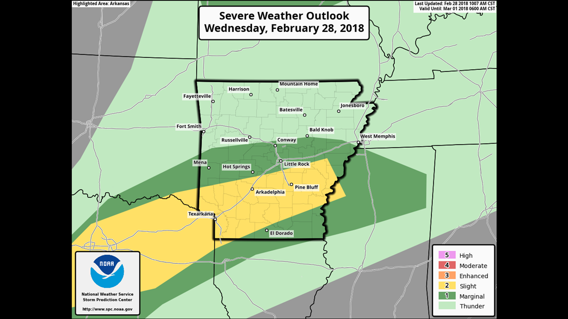
A bigger area of strong to severe storms is likely to our south along a line from Texarkana to Arkadelphia to Pine Bluff. Damaging winds, flooding rains, and even a few tornadoes will be possible in that region.


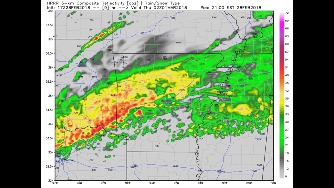
This is future radar for 8pm on Wednesday night. Some of the stronger storms will be near Mena before shifting to the east.
Rain may linger into Thursday morning before clearing Thursday afternoon.
Sunny skies are expected for Friday into Saturday with the next rain on Sunday evening into Monday morning.
-Garrett

