ARKANSAS, USA — Tracking wildfire smoke from coast-to-coast... Wildfire season is in full swing across the western United States and western Canada. On-and-off monsoon downpours are bringing relief to some fires, but not to all heat zones. The ones that keep burning are releasing a lot of smoke into the atmosphere, which is carried east by the jet stream to the rest of the U.S. Where is it heading next and who will get the most?
Tap HERE for our interactive radar and satellite.
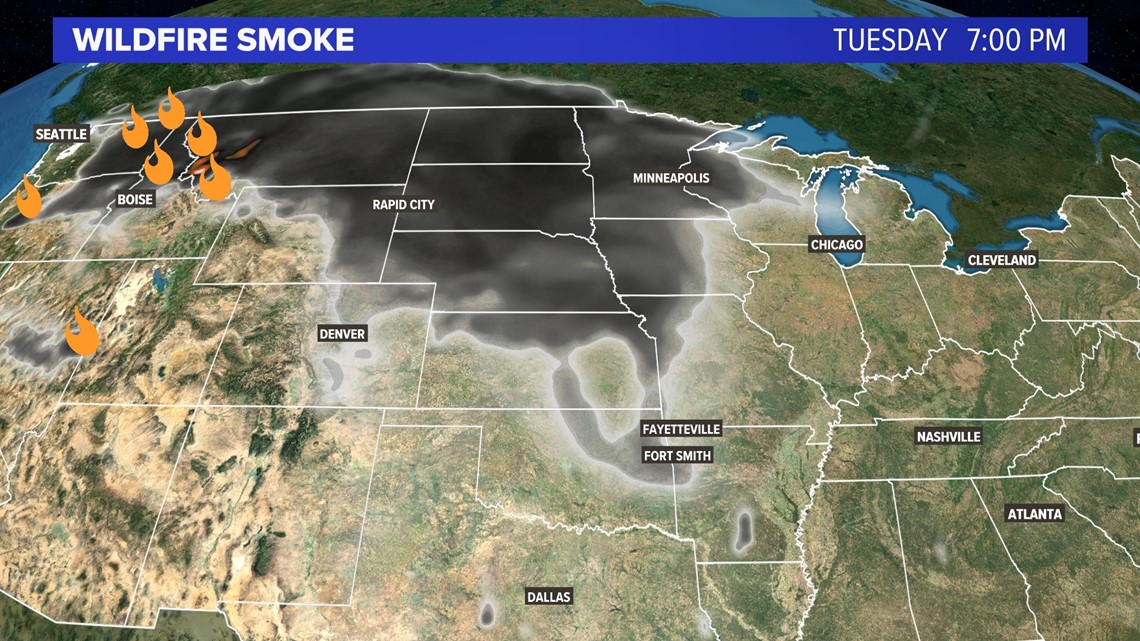
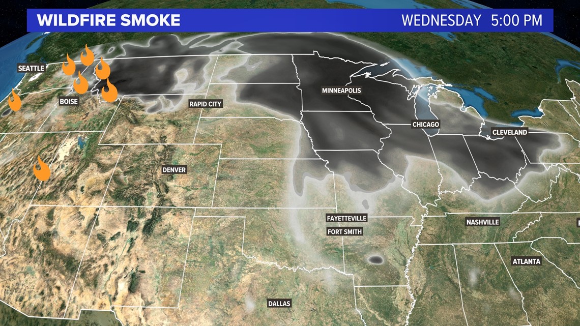
The fires are mainly located in the Pacific Northwest and northern Rockies. There are fewer fires in the south this week as monsoonal rains help bring much needed water to drought areas in the south (still remaining below what is needed). The jet stream is carrying that smoke east in multiple rounds, impacting the U.S. heartland, the corn belt, and the Great Lakes. By the weekend more smoke may hit the Northeast too.

IMPACTS
The main two impacts will be air quality and sky colors. The worse air quality reports will be in the west, closer to fire zones. Most of the smoke is lofted higher in the atmosphere, thousands of feet above the ground. However, some particles may reach the ground and irritate those who are most sensitive to air pollutants.
The skies will look hazy during much of the day for many Americans along and north of I-70. At night the stars may be harder to see. During sunrises and sunsets, the sky will look burnt-orange.
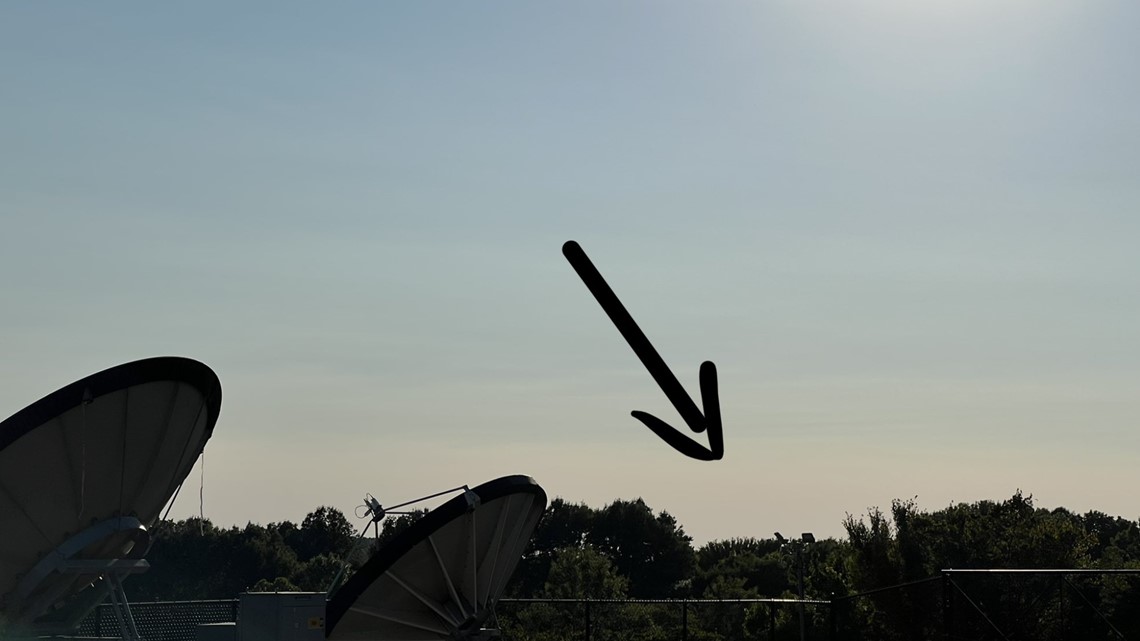
During the day, the horizon may look more brown. That brown layer is smoke.

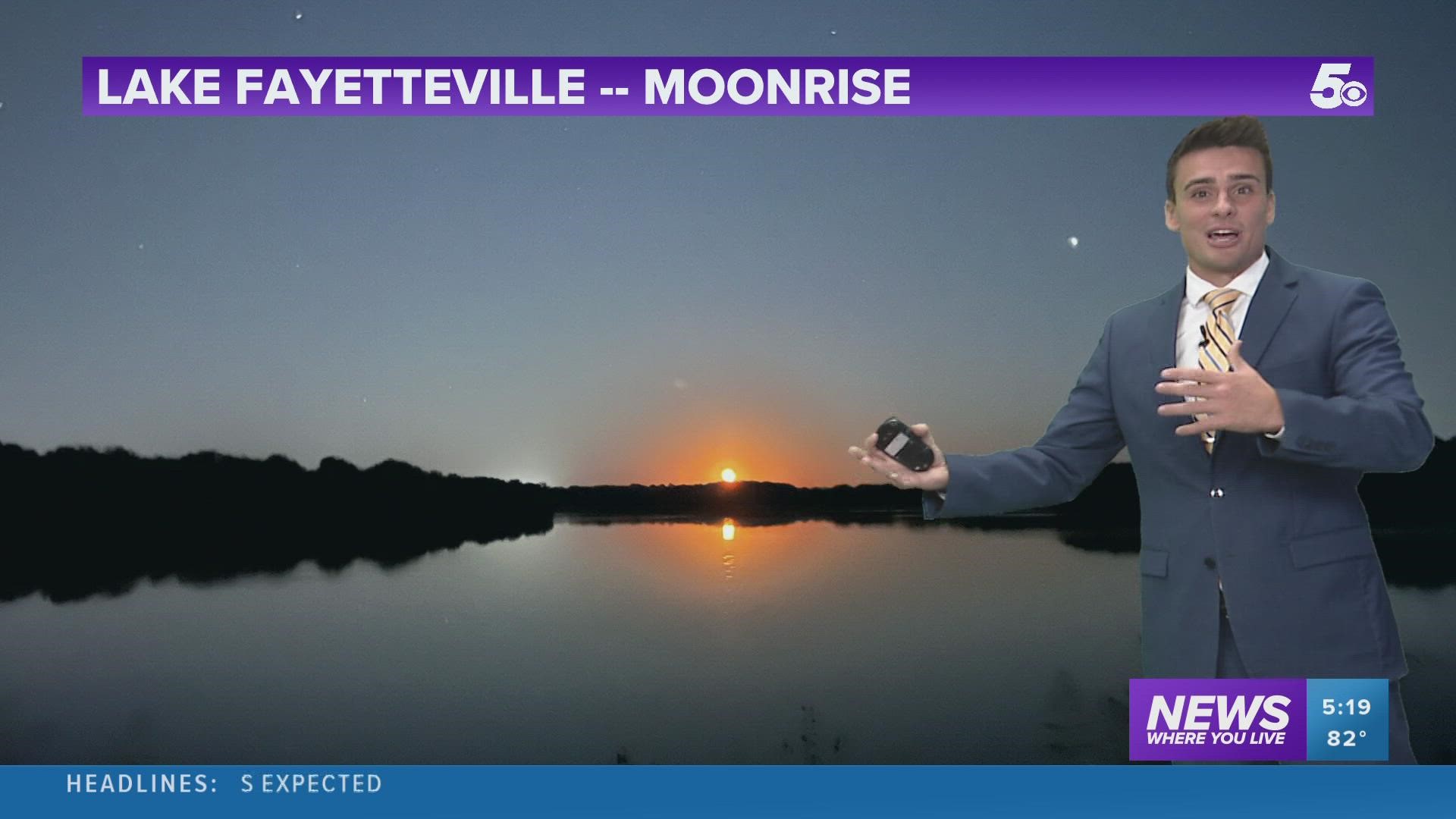
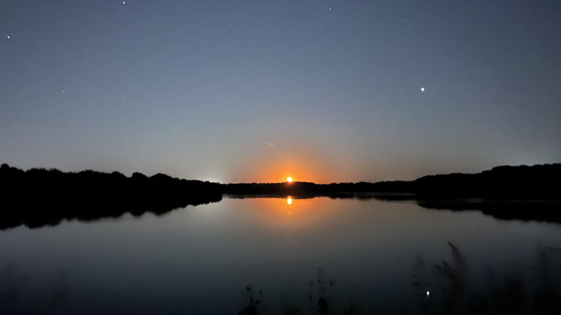
The moon will be impacted too. It will look more orange thanks to the smoke during the moonrise and moonset.

WHERE WILL THE THICKEST SMOKE BE?
The majority of the smoke is hitting the high plains and the Great Lakes. There is an appendage of smoke moving south into the Ozarks and Ouachitas, impacting Arkansas and Oklahoma through Thursday with clearing skies later this week.
(Map Below) By Wednesday and Thursday, smoke will spread east into the Ohio River Valley. Lower smoke levels will linger over the Ozarks.

-Matt
5NEWS Weather Team

